[NOTE: Click on the map, or any photo for larger viewing options. Also - a "slide show" of my favorite photos can be viewed by clicking HERE.]
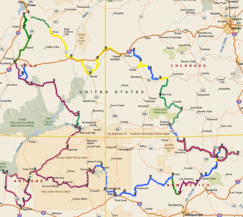
As I'm sure you're already aware, there's only one place where there's a meeting of four state boundaries in one place. I went to that actual monument/location back in 2003, but this time I did a big loop around it.
Highlights: Grand Mesa (above Grand Junction, CO), several 11,000 foot passes (also in Colorado), Taos area, Navajo Nation, Canyon de Chelly, Flagstaff, Grand Canyon, Monument Valley, Moki Dugway, Natural Bridges, Capitol Reef.
One of my constant objectives is to avoid travel on the Superslab. It's essentially impossible to travel off the Interstate from Boise to Provo, but other than that, I probably only had maybe 50 miles of Interstate travel, on the entire 3200-mile trip.
Another constant hope/desire is to not have inclement weather. And I got REAL lucky on this trip. I experienced one day (the "Grand Canyon Day") when the sky was overcast. And I put on my rain gear - twice. But I literally spent more time putting the gear on, than getting rained on. Sweeeeeet!
I stayed with friends 2 nights, in motels 2 nights, and camped 4 nights. Other than the price of gas - which was still hovering around $4/gallon in most places - the trip was a bargain.
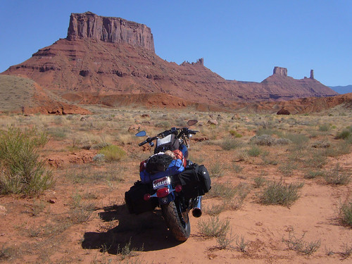
Just off the road near Moab:
Colorado High Country:

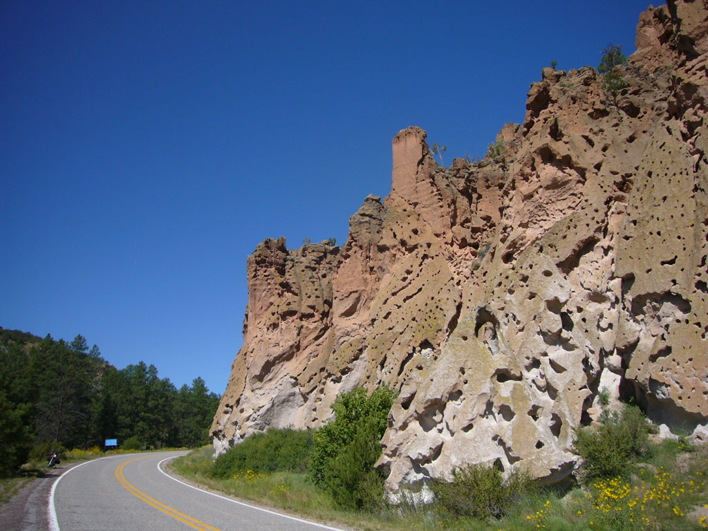
Crazy New Mexico Geology:
Canyon de Chelly, Arizona:

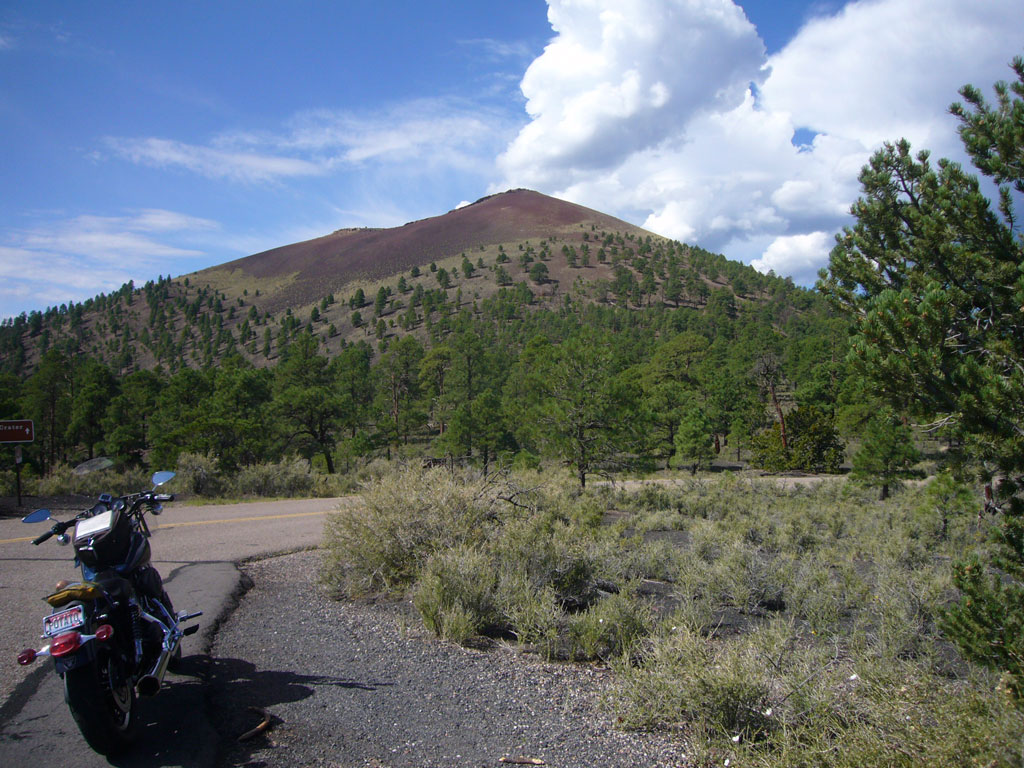
Sunset Crater, near Flagstaff:
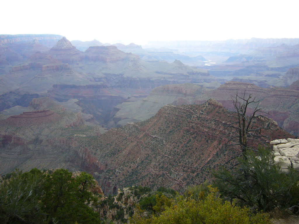
Grand Canyon:
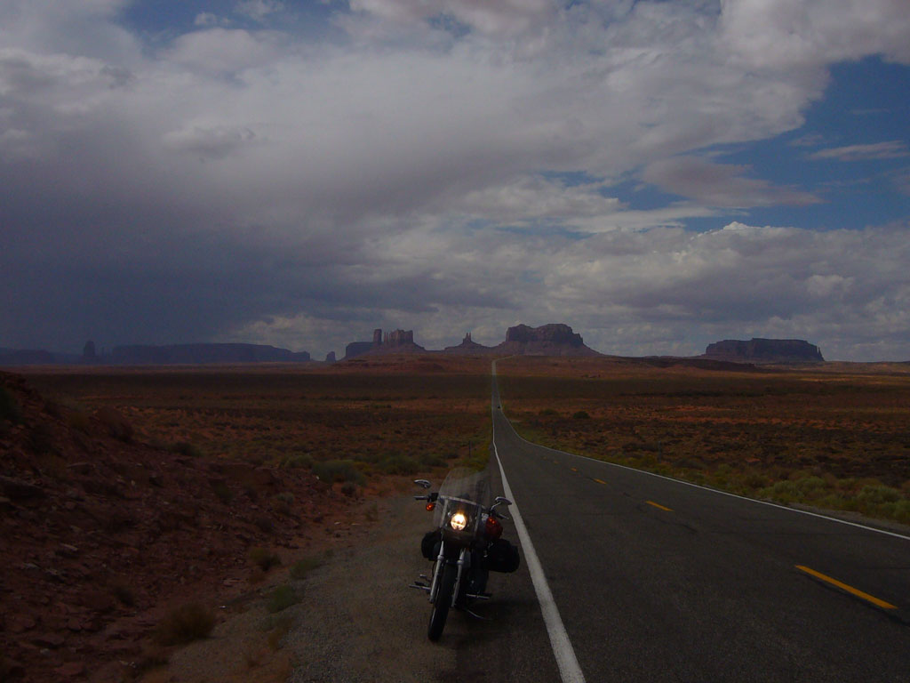
Monument Valley:

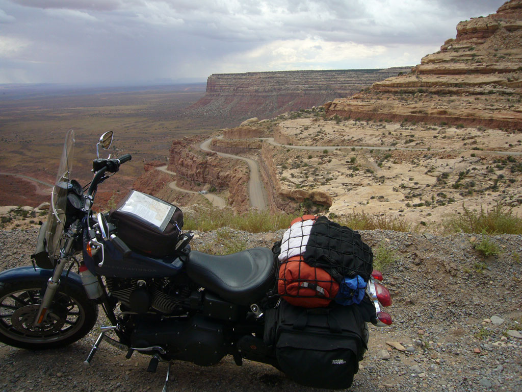
Moki Dugway:
Natural Bridges:

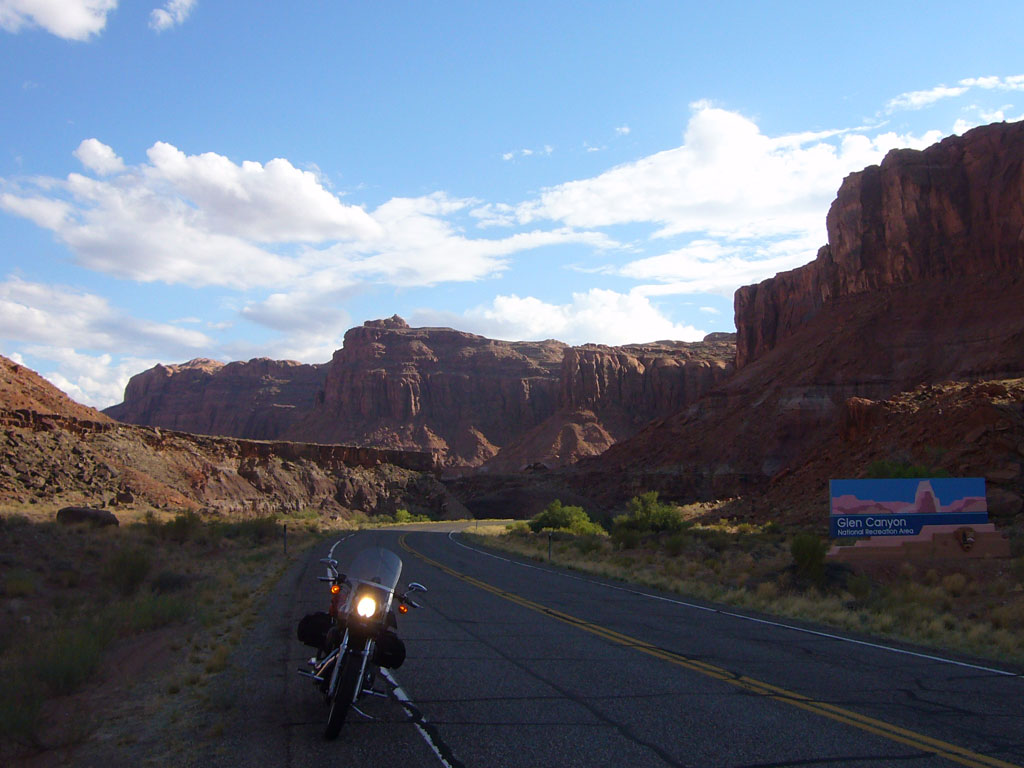
Glen Canyon:
Capitol Reef: